
- This event has passed.
Training on the GIS method in social and humanitarian research
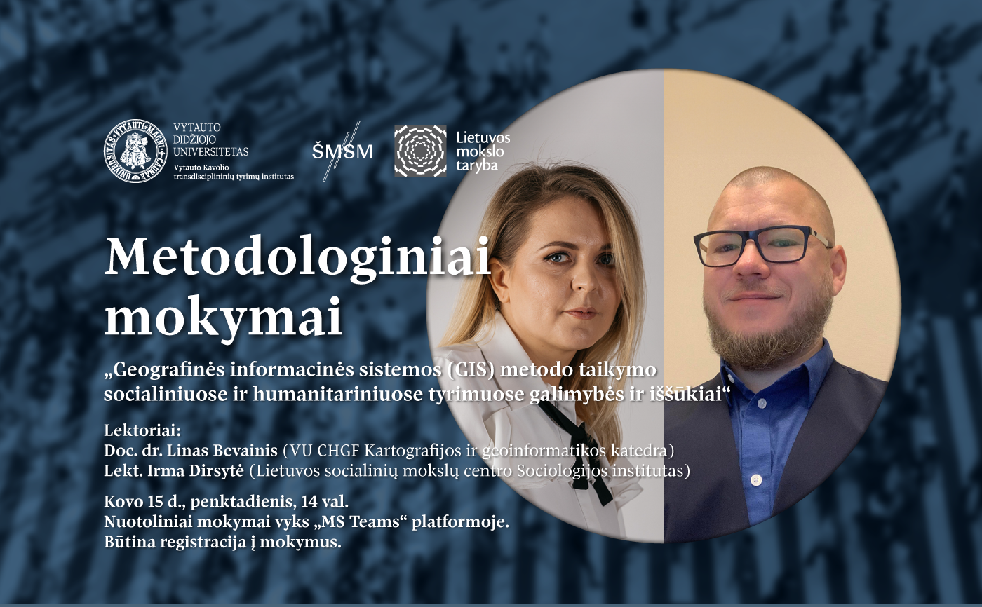
The Vytautas Kavolis Transdisciplinary Research Institute invites members of the VMU academic community to remote methodological training on the possibilities of applying the GIS (geographic information system) method in social and humanitarian research.
Date – 2024 m. kovo 15 d. 14 val.
Duration of the workshop – 2,5 val. (3 akad. val.).
Language – Lithuanian
Format – online workshop via MS Teams.
Please register to the workshop here. All registered participants will receive MS Teams link to the workshop a few days before the training.
Training program
Part I. Geographic Information Systems: Opportunities and Challenges
Lecturer: Assoc. Dr. Linas Bevainis (VU CHGF Department of Cartography and Geoinformatics)
The first part of the training will introduce the GIS method and its application possibilities and challenges in research of various disciplines. A geographic information system (GIS) is a broad-spectrum technology that integrates cartography, spatial data, and analytics to create, interpret, and understand geographic information. This allows us to examine and visualize a variety of spatial and territorial interactions, from site boundaries to the distribution of geographic features. GIS uses various types of data, including maps, aerial photographs and satellite images, social and economic data.
The technology’s analytical tools help solve problems ranging from urban planning and the environment to climate change and health research. Applied in various disciplines, GIS analysis enables deeper understanding and interpretation of data, enables finding solutions and forming insights in various scientific fields.
Part II. Statistical analysis and visualization of geospatial data using the R program
Lecturer: Irma Dirsytė (employee of the Vytautas Kavolis Transdisciplinary Research Institute, PhD student at the Institute of Sociology of the Lithuanian Center for Social Sciences)
The second part of the training is aimed at getting acquainted with the practical application of geographic information systems (GIS) using the open source R program.During the training, the main R packages used for statistical analysis and visualization of spatial data will be reviewed, practical examples will be presented and the possibilities of combining spatial data with individual data sets will be presented.
The following topics will be discussed during the seminar:
Introduction to spatial data analysis with R;
Visualization of maps and spatial objects;
Preparation of geospatial data using publicly available sources and the Google Earth program;
Transformation of geospatial data, connection of data with individual data sets and their representation;
Statistical analysis and visualization of geospatial data (probability distribution and cluster data analysis).
The training will be moderated by dr. Gintarė Pocė, head of project activities of the V. Kavolis Transdisciplinary Research Institute.
More information about training is provided by e-mail by post vki@vdu.lt.
These trainings are one of the activities of the project “Strengthening of R&D activities of the Vytautas Kavolis Transdisciplinary Institute of Social and Humanities Sciences (SOCMTEP)”. The project is financed by the Lithuanian Science Council and the Ministry of Education, Science and Sports of the Republic of Lithuania, contract no. S-A-UEI-23-13 (12/27/2023). Funding program – “University Excellence Initiative” (No. V-940).